Warwick › Sud: Coventry Flying School / Coventry Aeroplane Club - Coventry Airport
![]() Warwick, Regatul Unit al Marii Britanii și al Irlandei de Nord
Warwick, Regatul Unit al Marii Britanii și al Irlandei de Nord
Real-Time Environment
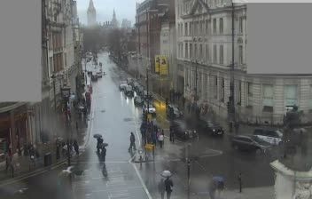
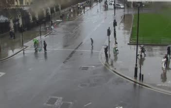
Welcome to the live streaming webcam for Warwick › Sud: Coventry Flying School / Coventry Aeroplane Club - Coventry Airport, perfectly situated in the vibrant region of Warwick, Regatul Unit al Marii Britanii și al Irlandei de Nord. Watching this live camera allows you to instantly experience the local atmosphere and monitor current climate conditions.

About Warwick
Warwick is a market town, civil parish and the county town of Warwickshire in the Warwick District in England, adjacent to the River Avon. It is 9 miles (14 km) south of Coventry, and 19 miles (31 km) south-east of Birmingham. It is adjoined with Leamington Spa and Whitnash.
📖 Read more on Wikipedia📍 Location Facts
-
Country
 Regatul Unit al Marii Britanii și al Irlandei de Nord
- Region England
- City Warwick
- Coordinates 52.3744°N, -1.4758°E
Have you been to Warwick?
Help the community! Share your experience, tell us about the weather, or upload your own photos from this exact location.